
A meeting between academics and practitioners explores new frontiers in spatial representation and mobility planning
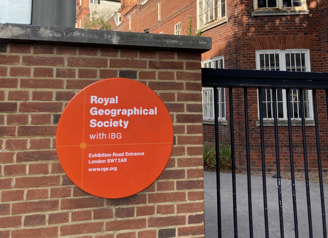
The historic Royal Geographical Society hosted the annual RGS-IBG International Conference, this year focusing on ‘Mapping’, which took place over the past few weeks in London. This event explored the many applications of cartography, from its historical evolution to the use of the latest map-making technologies, reflecting on how they influence an increasingly rich world of geographical representations.
The event attracted over 2,000 geography experts from around the world, who gathered at the Royal Geographical Society and Imperial College London to discuss the importance of cartography in the contemporary world. Among the various topics covered, particular emphasis was placed on the session ‘Transport Planning and Infrastructure Design’, where members of MUSA’s Spoke 1 presented an original paper entitled ‘Walking maps. Exploring walkability cartographic tools’.
The presentation focused on the mapping of walkability in the Bicocca district of Milan, highlighting how a combination of research methods (audits, workshops, focus groups and Q-methodology) and indicators (both objective and subjective) can provide a detailed and accurate representation of the urban territory. The first web-maps developed to represent walkability caught the attention of participants with their innovative visual representation of pedestrian walkability.
The conference, which was attended by 30 academics from international universities, provided a valuable platform for the MUSA project, allowing the first results on the topic of urban walkability to be shared with the scientific community. The feedback received was particularly positive, with a strong interest in the integration of qualitative and quantitative approaches in the research presented.
In addition to the quality of the interventions and the specificity of the topics covered, the conference fostered a fruitful exchange of ideas and the creation of new connections between scholars and professionals engaged in the study of active mobility and land mapping. An event that demonstrated the value of international cooperation in geographical research and cartographic innovation.


